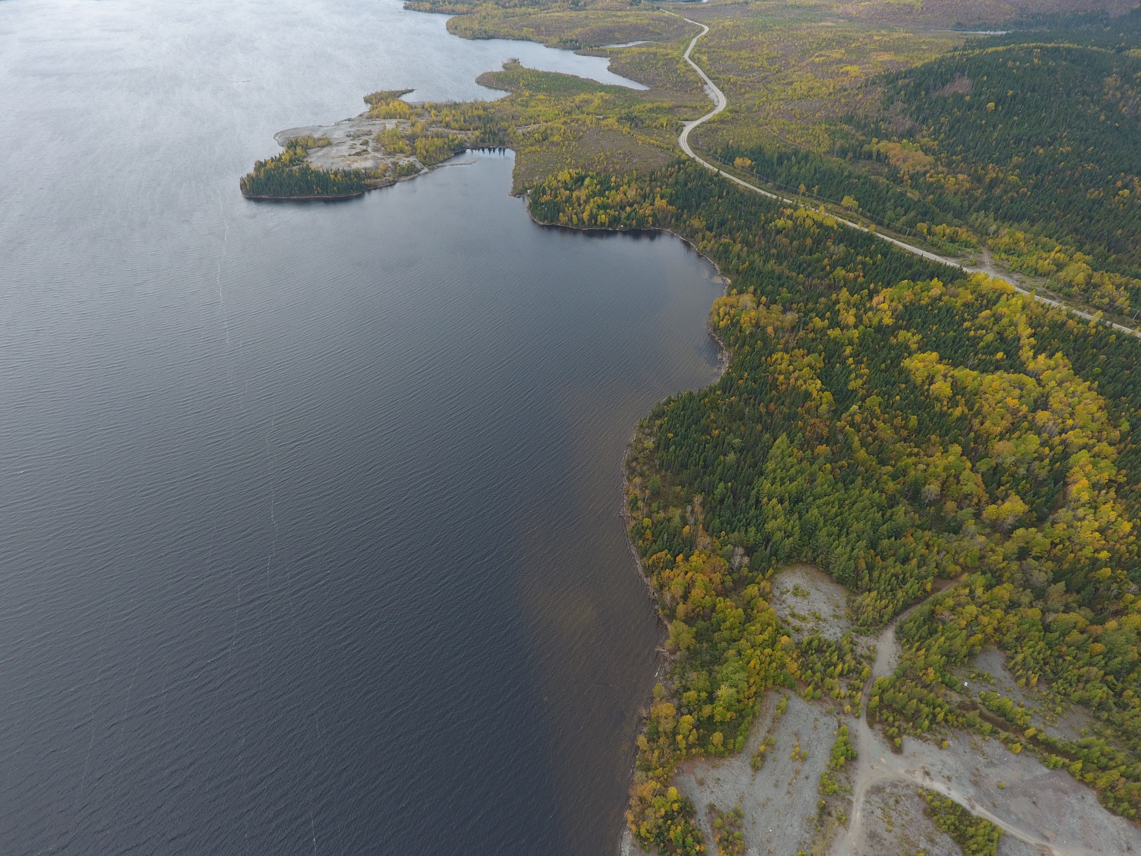


| Location | 8 km southeast of Chibougamau, QC |
| Ownership | 100% Dore Copper |
| History | Past producing underground mine: 3.86 Mt grading 1.63% Cu and 3.3g/t Au from 1958 to 1990 |
| Commodities | Gold and Copper |
| Current Status | Advanced exploration |
| Mineral Resources (2018) | Indicated: 130,000 tonnes @ 9.44 g/t Au and 1.55% Cu, containing 39,000 oz of gold and 4.4 M lbs of copper Inferred: 230,000 tonnes @ 8.32 g/t Au and 2.13% Cu, containing 61,000 oz of gold and 10.8 M lbs of copper |
OVERVIEW
Dore Copper, through its wholly-owned subsidiary CBAY Minerals Inc., holds a 100% interest in the Cedar Bay Project located in the vicinity of Chibougamau, Québec.
Cedar Bay is a high-grade gold-copper deposit located on the north flank of the Lac Dore Complex. From 1958 to 1990, the Cedar Bay mine produced 3.86 Mt grading 1.63% Cu and 3.3 g/t Au. The ore was processed at the Copper Rand mill located 5 kilometers from the mine.
The Company, while operating as a private company completed a drilling program in 2017 and 2018 and reported a mineral resource estimate (“MRE” in its June 2019 Technical Report. Subsequently, the Company drilled 9,025 meters in 2020 which successfully extended the Cedar Bay deposit at depth No other exploration activities are planned at Cedar in the near-term. Longer term, Cedar Bay is a potential secondary feed source to its 100% owned Copper Rand 2,700 tpd mill.
HISTORY
Mineralization at Cedar Bay was discovered by Chibougamau McKenzie Ltd. prior to 1927. From 1928 to 1938, work on the project was carried out by a number of operators and included shaft sinking to a depth of 159 meters, underground lateral development on two levels totalling 1,442 meters (4,732 ft), and diamond drilling. From 1951 to 1997, Campbell Chibougamau Mines Limited sank a second shaft to a depth of 1,036 meters (3,400 ft) and completed both surface and underground diamond drilling. From 1958 to 1990, the Cedar Bay mine produced 3,860,707 tonnes grading 1.63% Cu and 3.3 g/t Au. Production took place above the 670.5 meters (2,200 ft) level but development extended to the 754 meters (2,475 ft) level. All of the surface infrastructure buildings including the headframe and offices have been removed.
From 1994 to 1995, Campbell Resources drilled 10 holes from the 823-metre level of the adjoining Copper Rand mine that targeted the down-dip extensions of the Cedar Bay deposit.
RECENT & CURRENT EXPLORATION
In 2018, the Company, while operating as a private company, completed a drilling program of four-hole (including wedges) totalling 4,842 meters. The drilling confirmed the results of the 1994-1995 Campbell drill holes from underground from the Copper Rand mine and provided several new intercepts across the three defined vein zones: Central,10-20A, and 10-20B. In 2019, the Company reported a NI 43-101 MRE of 130,000 tonnes averaging 9.44 g/t Au and 1.55% Cu, containing 39,000 ounces of gold and 4.4 M lbs of copper in the Indicated category; and 230,000 tonnes averaging 8.32 g/t Au and 2.13% Cu, containing 61,000 ounces of gold and 10.8 M lbs of copper in the Inferred category (Effective date of December 31, 2018).
In 2020, Dore Copper completed 9,025 meters of drilling and successfully extended the 10-20A and 10-20B structures by approximately 250 meters down dip. All veins remain open at depth and towards the northwest. In the course of the 2020 drilling program, three of four drill holes intersected high-grade copper and gold mineralization at the near-surface Copper Cliff Crown Pillar. The best hole (CDR-20-04B) intersected 7.3% Cu and 13.6 g/t Au over a true width of 2.3 meters at a depth of 34 meters. In 2021, Doré Copper completed 2,043 m of drilling in 10 holes to test the extension of the Copper Cliff Crown Pillar. Only three holes intersected high-grade copper mineralization. The Copper Cliff Crown Pillar extends for approximately 300 m along strike from surface to a vertical depth of 85 m (mined out below).
GEOLOGY & MINERALIZATION
The Cedar Bay deposit is hosted by a sheared and altered gabbroic-anorthosite of the Lac Dore Complex on the north flank of the Chibougamau anticline. The deposit generally strikes northwest and is sub-vertical. The gold-copper mineralization at Cedar Bay occurs mostly as hydrothermal sulphide veins which average approximately 1.5 meters in width and are tens to hundreds of meters in strike length. The individual mineralized lenses have approximately 3:1 down dip to along strike anisotropies. The veins are comprised of pyrite and chalcopyrite with some pyrrhotite and traces of sphalerite and galena. The main alteration minerals are chlorite, quartz, and carbonates. Locally, pyrrhotite dominates the vein mineral assemblage.
At Cedar Bay, there are currently five identified parallel zones of mineralization: Main 1 and 2, Central, 10-20 A and 10-20B (from SW to NE), as well as several other smaller lenses in between. The mineralization zone is bounded by a diabase dyke in the north, striking in the same direction as mineralization. The 10-20 zone is located along the dyke’s southern contact. The same style of dykes are prevalent in the Copper Rand mineralization. The shears hosting the mineralization at Cedar Bay and other deposits with similar orientation are extensional in nature.